Detailed aerial imagery
A GeoTIFF combines an aerial image with location information, allowing it to sit alongside other project mapping. Aerial survey capture is arranged through specialist providers.
 ADM2010LAND DRAINAGE & RURAL CIVILS07802 761238
SURVEY & HANDOVER EXAMPLES
See how aerial imagery and recorded drainage routes come together to give project teams a clearer view of the completed work.
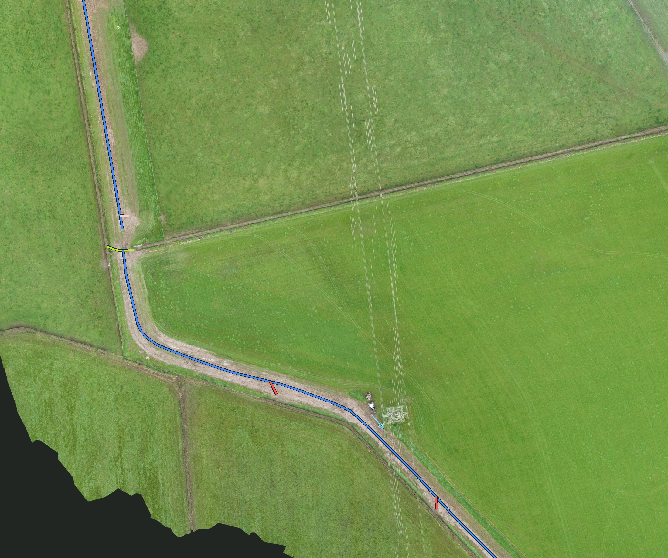
We can arrange aerial mapping alongside drainage works, with detailed GeoTIFF imagery and recorded routes to support the handover information. This example brings the aerial image and drainage layout together.
 Enlarge survey image
This cropped example omits site names, dates and coordinates. The original georeferenced files are not included.
A GeoTIFF combines an aerial image with location information, allowing it to sit alongside other project mapping. Aerial survey capture is arranged through specialist providers.
Overlaying the recorded routes helps show how the drainage fits together across the working area, including collector runs and connections.
Mapping, photographs and site notes can be brought together to explain the work. We agree the coverage, file formats and level of detail needed for each project.
THE COMPLETED WORK
An animated extract from aerial survey imagery, following the mapped drainage routes through the working area. Identifying titles, dates and job totals have been removed.
Tell us about the site and the investigation, design or handover information you need.
LET’S TALK
Tell us the location, the work needed and your timescale.