
01 / INVESTIGATION
Understand the ground.
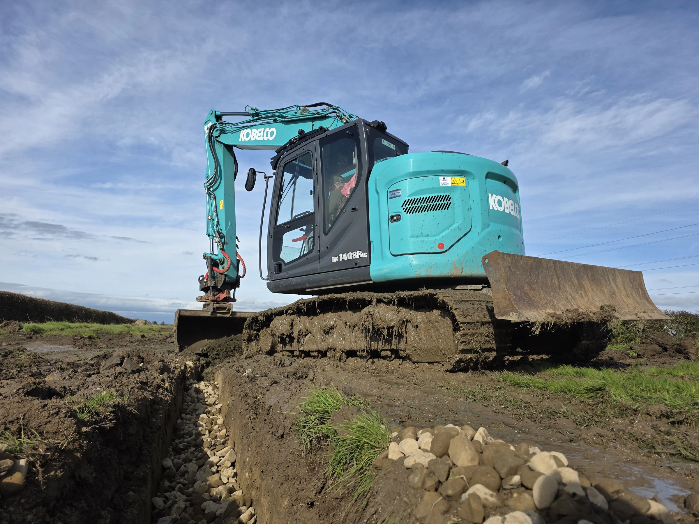
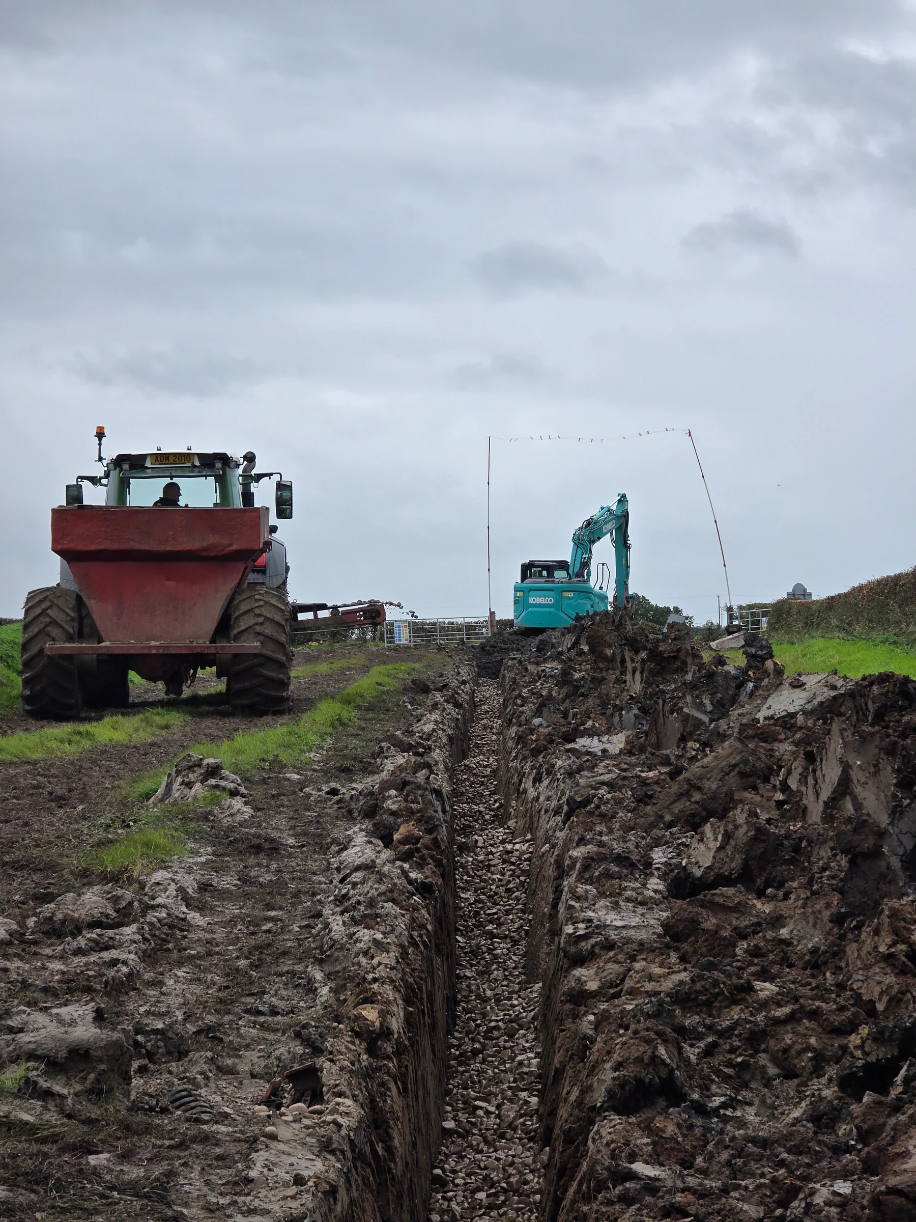
We were brought in to address waterlogging on agricultural land following utility duct installation. The photograph shows the pre-existing conditions. Our initial walkover assessed the ground and identified where further investigation was needed.
We then assessed the drainage route, measured the affected sections and checked existing connections and outlet levels. These findings defined the remedial scope.
02 / DRAINAGE DESIGN
Make the levels work.
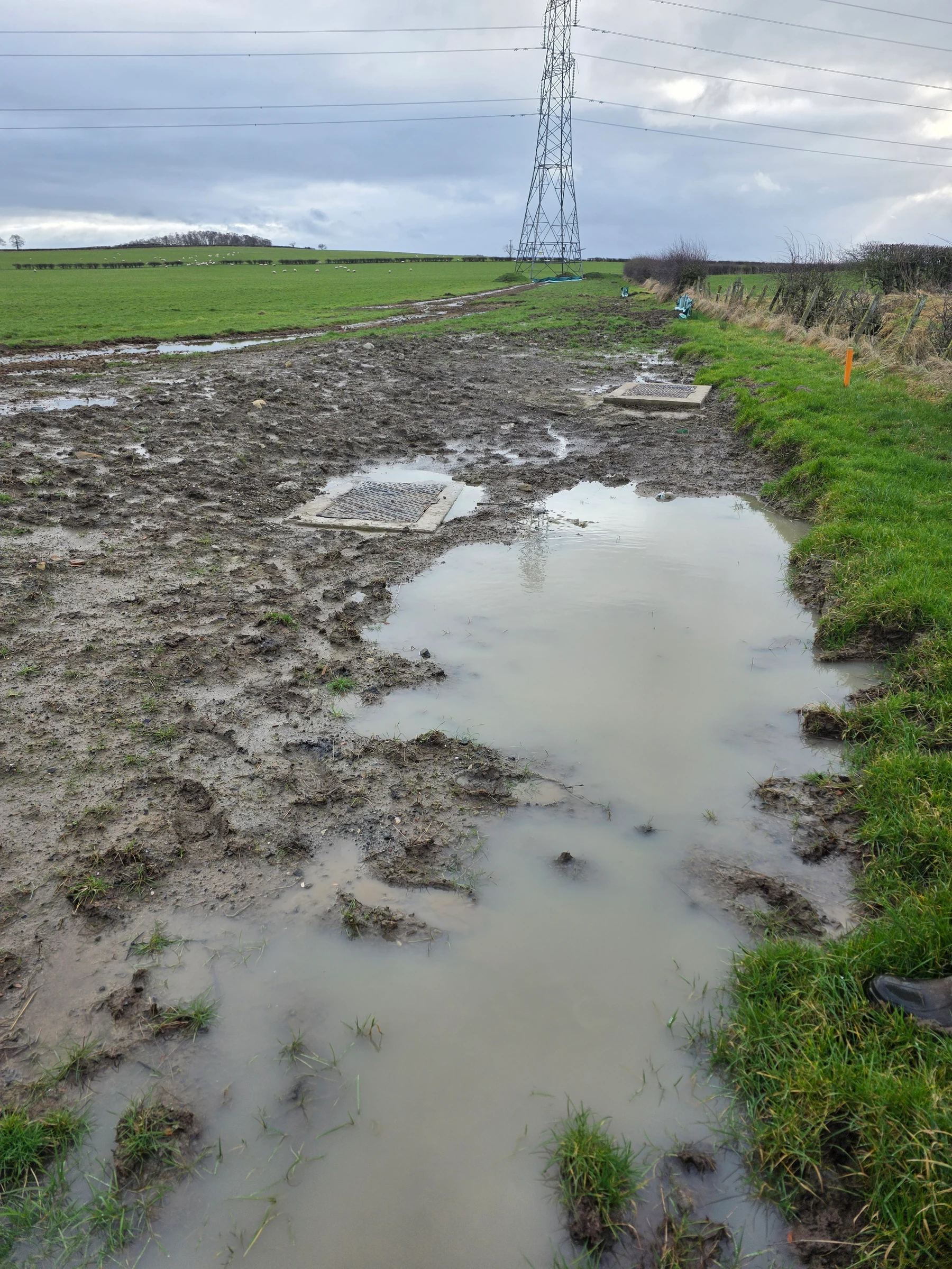
The scheme needed to intercept water beneath the existing duct installation and carry it away through collectors to suitable outlets. The available fall determined where each run could break away from the utility corridor.
We developed the drainage layout and outline pipe sizing, bringing the collector runs, interception points, crossings and existing agricultural drain connections into a measured schedule of work.
03 / INSTALLATION
Build around the existing infrastructure.
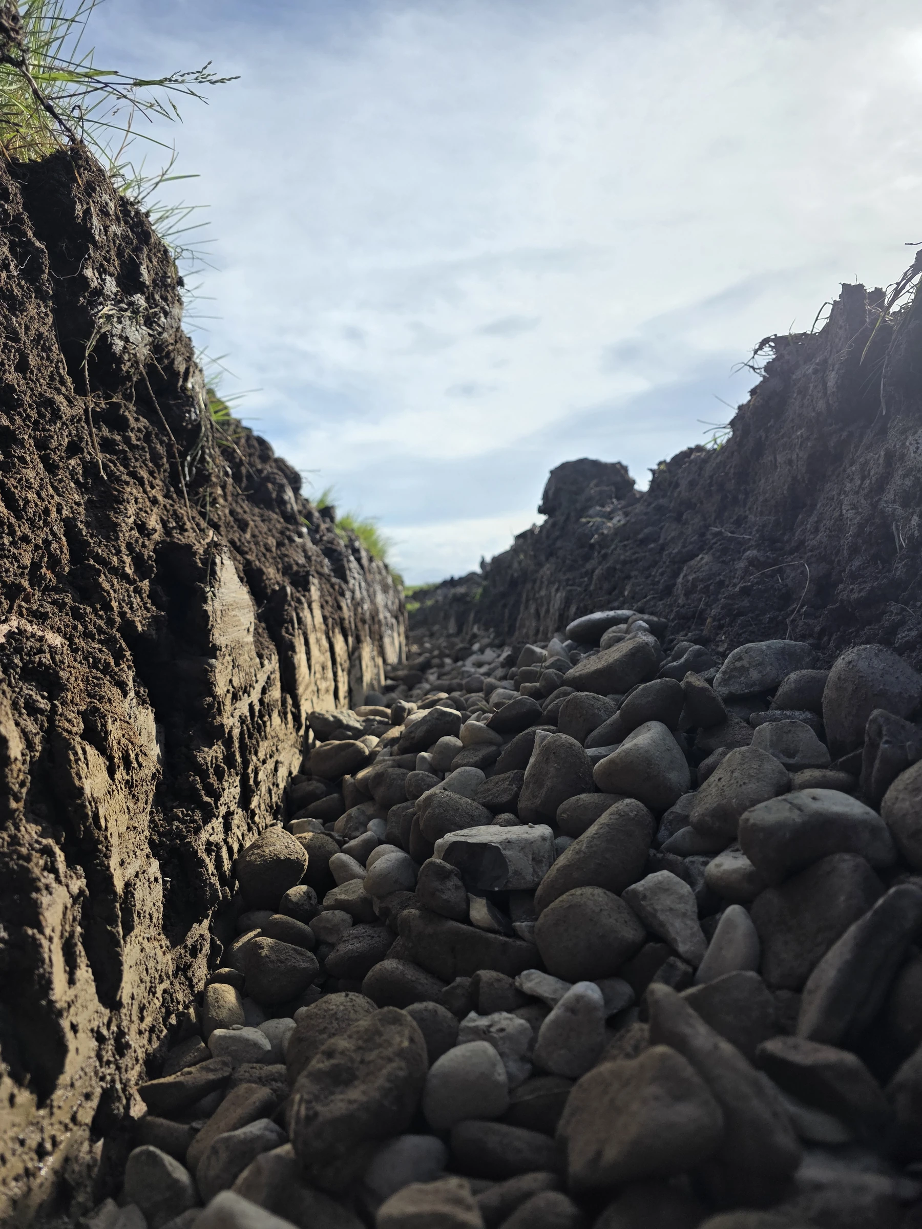
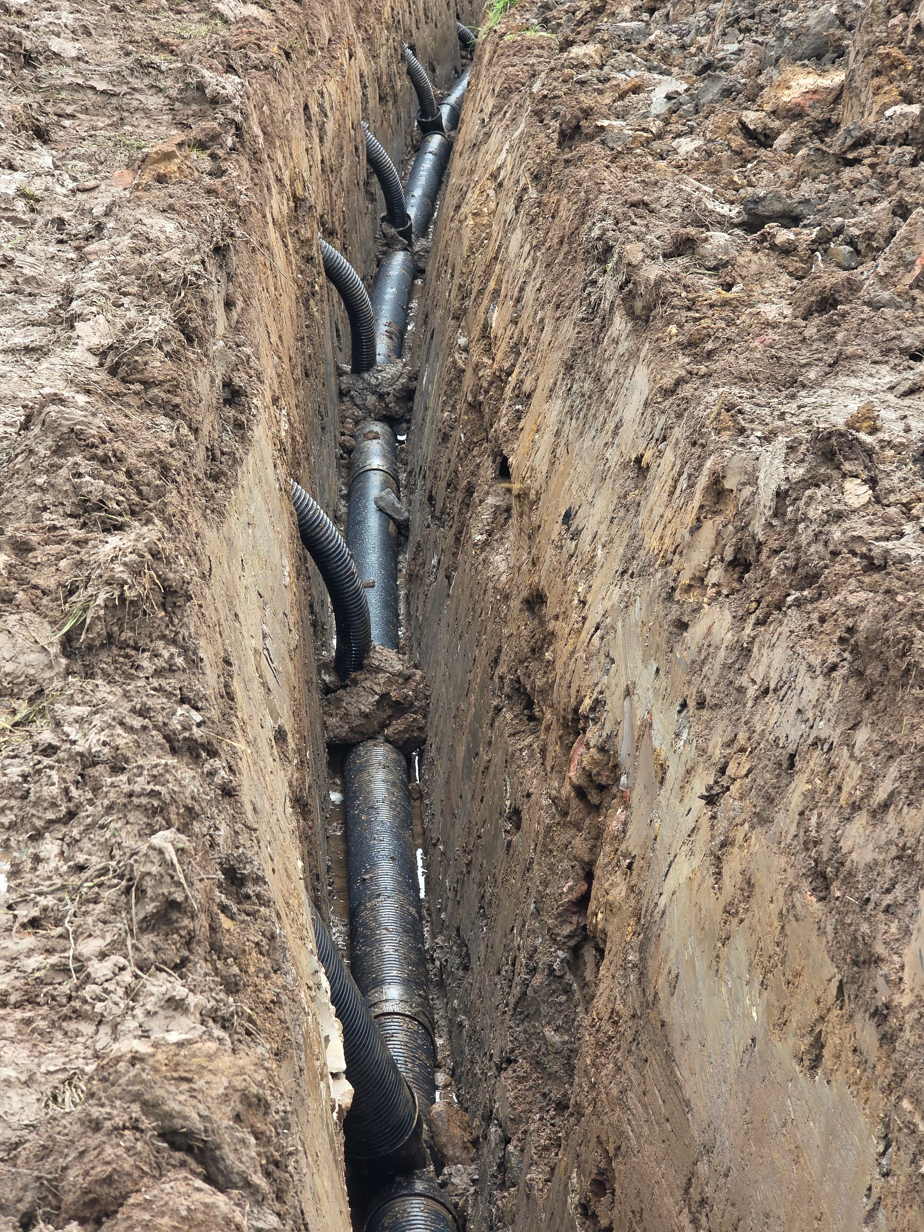
The installation brought the designed routes together on the ground: collector drains, ditch outlets, a replacement gateway connection and links into the existing agricultural drainage.
At the duct route, the work included carefully hand-dug drainage beneath existing trunking, with gravel surrounds. The excavated ground was reinstated after installation.
04 / COMPLETION & HANDOVER
Installed, reinstated and handed back.
The remedial drainage installation is complete and the site has been handed back. New collectors and outlets connect the interception points with the existing agricultural drainage system.
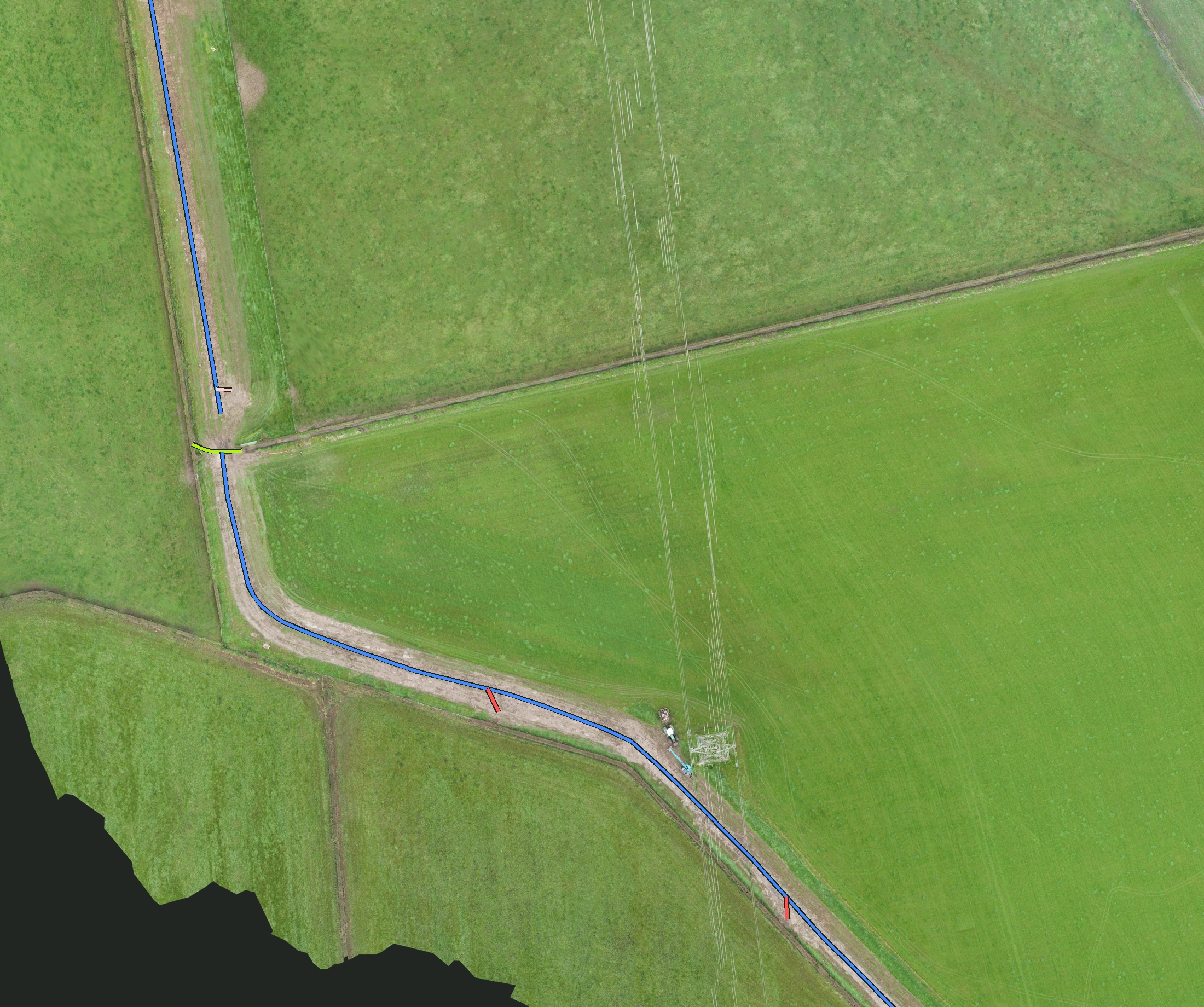
We arranged specialist aerial mapping alongside photographic records of the work. The map and animation below show extracts of the recorded drainage layout, with identifying details removed.
 Enlarge drainage map
This cropped example omits site names, dates and coordinates. The original georeferenced files are not included.